Water Finding Service

Hydro Imaging provides consulting services for hydrogeology, geology and geophysics in the Northwest U.S.

Water Finding Service

A recently drilled well in a wheat field near Cheney, Washington supplies water to a new home
    High-Technology Finds Water Quickly, Inexpensively
  • Exploratory services to find domestic water supplies(near residences, livestock, for irrigation, domestic or commercial purpose)
  • Optimize quality of source (by volume, location, flow rate, convenience)
  • Enhance, amplify value of geologic and public data to customer
  • Identify drilling depth to aquifer to avoid unnecessary drilling, developments
  • Locate drill site before choosing a drilling contractor (before drilling begins)
  • Provide drilling recommendations with complete report
  • Eliminate uncertainty, guessing
  • Identify, to avoid unproductive sites (no water present)
  • Call on us where others fail
  • Fast response times, expedited service
  • Includes a complementary visit to examine site and to provide information before committing to service.
  • Compare our service to cost of an unsuccessful well

Got Water? If Not Pre-Drilling Hydrogeological Assessment

METHODS/TECHNOLOGY

Our service offers choice of three geophysical methods for collecting new information to locate a water supply. Conditions at the site dictate which method is best applied that offers most advantages.
  • 1. Seismoelectric sounding
    An important advantage lies in the ability of seismoelectric to gather water information at great depth, sometimes as deep as 1,300 feet, and to provide an estimate of quantity of water. Seismoelectric or electrokinetic sounding (EKS) combines electrical and seismic methods.
    Equipment is GF2500 system manufactured by GroundFlow
  • 2. Seismic refraction profiling
    An important function of refraction is ability to discover hidden gravel deposits or identify bedrock characteristics that may contain water near but not visible from surface
    Equipment is Geode 24-channel seismic recorder system manufactured by Geometrics Inc.
  • 3. Electrical resistivity imaging
    A key purpose of electrical or earth resistivity surveying lies in its high quality imaging ability to rapidly reveal the locations, depth and quality of water-bearing aquifers versus barren rock
    Equipment is SuperSting R1/IP Resistivity/Smart Electrode System by Advanced Geosciences Inc.
    KNOWLEDGE
  • Possesses technical knowledge, state-of-art equipment
  • Experience to address the most difficult water locating challenges.
  • Possesses know-how and current technology used to locate water supplies represents two important advantages that competitors cannot provide.
  • The owner is a professional geologist with local, regional and international experience. He holds current professional registration by the State of Washington to provide service as a hydrogeologist and geologist (in addition to professional registrations by other agencies).
  • Professional registration means that customers can be confident each will receive highest level of professionalism, care and service.
  • 15 years of operating experience as a professional service

HydroImaging / Columbia Water Surveying specializes in exploratory services for water supplies for domestic, commercial or irrigation purposes. Locating water is our specialty. HydroImaging, Inc. extended its service offerings in 2016 following the acquisition of operating experience and knowledges of Columbia Water Surveying. Over many years Columbia Water Surveying pioneered water finding services across a five-state region of the northwest U.S with the seismoelectric method. Columbia Water Surveying served 330 clients since 2000.
    This knowledge is very important because all water exploration challenges are accomplished in a sequence:
  • Evaluating your property
  • Acquiring water well and other public information,
  • Obtaining customer input, needs and experience from the site, and
  • Acquiring new geophysical data to evaluate water supplies.

HOW IS WATER FOUND?
We provide information and offer advice. We welcome conversation to get acquainted, discuss your needs, consider options available or to only answer your questions. HydroImaging is occasionally called to jobs after clients have drilled one or more dry wells (little or no water) that fail to yield a minimum supply of water. Situations as these demand an assessment of your site, considering your needs and possibly collecting new information. This is the service we provide. Technical knowledge, optimized to your needs and local experience are of great importance to clients we serve.

Call us for complementary visit to your site before construction begins as it is important to have a proven water supply during planning stage or before development gets underway. A homeowner’s worst nightmare is having a beautiful home without a water supply.
    WHERE IS WATER FOUND
    Water is found in aquifers which are, most simply, open space that stores water. Large storage space corresponds to a larger water supply. The storage for water may lie between sand grains or within broken or weathered rock. Local examples of the variety may be…
  • Porous sand, stone, boulders, or similar which may display layering; river gravels are common local aquifers,
  • Fractured rock, igneous, metamorphic or volcanic rock that’s either fractured or weathered can create open spaces to store water; granite and basalt are common local aquifers,
  • Volcanic lavas with natural open space between or within layers contain adequate open storage for water; layers between basalt flows are common locally, and offer open space that contain water.

WHAT EFFORT IS REQUIRED?
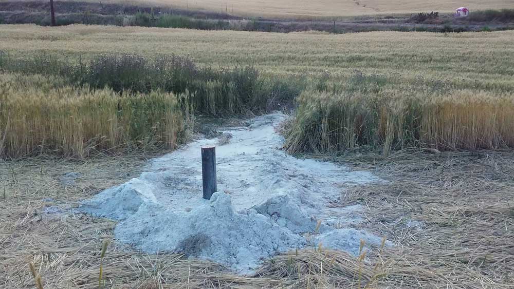
A job for a customer consists of discussing needs and challenges and providing information. A site visit with customer is required to assess conditions, consider site layout, confirm customer needs and select the best method of operation. This step coincides with collection of public water data if available to combine with customer knowledge. Step 3 is to collect electrical or seismic data, a task that varies in length of time required. Larger areas may require more time to survey. The final step is to process, analyze and interpret the data to assess conditions, and to provide a professional report of results with recommendations. Time required at the site averages two days with report of results delivered in 10 to 14 days.
Visiting a new site with the owner is a critical step to provide opportunity to examine the site, understand needs and concerns of the owner and offer a proposal to complete the work. This meeting often reveals caveats of the site, conditions, opportunities to improve outcomes and avoid pitfalls.